
Diving atVirginia Reef (United States)
Descending into Virginia Reef reveals a submerged landscape shaped by history, featuring numerous shipwrecks and artificial structures. Divers often encounter varied conditions, from calm shallows to deeper, more exposed sites. A careful assessment of local reports is essential before any plunge, as currents and visibility can shift considerably. Each dive here offers a distinct exploration opportunity within its diverse underwater topography.
Tonight's objective overview for Virginia Reef shows an air temperature of 27°C. The measured surface conditions include wave heights around 0.4 m. This environmental data is logged for the close of the day.
Dive Site Location & Key Facts
Everything you need to know about this dive site.
Dive Site Overview
This extensive dive area, encompassing sites off Virginia Beach and the Outer Banks, presents a fascinating underwater topography primarily composed of shipwrecks and artificial structures. Sites vary significantly, from the prominent Chesapeake Light Tower, an abandoned offshore lighthouse standing on massive legs that serve as a habitat, to numerous historically significant wrecks.
For instance, the Norvana, a freighter sunk in 1942, features an intact stern with propeller and a multi-story bow. Nearby, the Benson oil tanker wreck, also sunk in 1942, is largely rubble but includes some intact hull sections and engine machinery.
Closer to shore, the Kiptopeke Concrete Ships, intentionally sunk to form a breakwater, provide complex structures for exploration in shallower sections. Depths range considerably, from approximately 1.5 m (5 ft) at the top of some near-shore wrecks, like the Wink's/Mountaineer, to deeper sites around 30-32 m (100-105 ft) such as the Benson and Norvana.
Virginia Reef
Conditions are Good
Best Dive Window
07:00 - 14:00
Optimal conditions expected
Current conditions near Virginia Reef show 27° air, 28° sea temperature, 0.7 m waves, and 22 km/h wind. Forecast data is refreshed regularly to ensure accuracy.
Best Time to Dive
Optimizing visibility for a Virginia Reef dive often guides seasonal planning, though local conditions dictate daily experiences. The best overall dive scores typically occur from February to May and then again from October to November, indicating favorable general conditions. During these periods, air temperatures are generally comfortable, ranging from 15-24.5°C (59-76°F) in spring and 19.5-23°C (67-73°F) in fall. Rainfall is relatively low, often below 3 mm (0.12 inches) per month for most of these windows. Specific shore dives, like the Little Creek Jetty, benefit from high tide combined with low wind during the preceding few days. For deeper offshore wrecks, better visibility and lower current are commonly found, making them more accessible.
PEAK SEASON SCORE
Scores combine air & water temps, waves, wind & rainfall for overall conditions.
BEST MONTHS TO DIVE
Monthly records compiled from satellite and marine observation nodes over the last 3 years. Data provided by Open-Meteo and MET Norway.
Dive Experience & Conditions
Exploring the depths around Virginia Reef exposes divers to a spectrum of conditions. Maximum depths extend to 32 m (105 ft) at sites like the Norvana and Benson. Many other wrecks and structures reside in shallower sections; the Chesapeake Light Tower sits at 13.7 m (45 ft), while the Triangle Wrecks are found in water around 6 m. Water temperature is not consistently reported in available data but varies seasonally. Visibility can be a significant factor, frequently low or even absent in the Chesapeake Bay, and generally lower in near-shore or tidal areas. Offshore sites tend to offer better visibility. Currents can be high, particularly in areas like the Chesapeake Bay Bridge-Tunnel (CBBT) pilings and around the Kiptopeke Concrete Ships, where slack current is crucial for a safe dive. Diver preparedness for variable conditions, including potential thermoclines in deeper areas, is essential.
Dive Difficulty & Safety Guidelines
Approaching Virginia Reef sites requires a keen awareness of potential hazards. High currents are possible, particularly in the Hampton Roads area, around the CBBT pilings, and near the Kiptopeke Concrete Ships; diving at slack tide is often recommended to mitigate this. Low visibility is also a frequent concern, especially in the Chesapeake Bay and for many shore dives, demanding advanced navigation skills. Boat traffic nearby is a factor for sites in Hampton Roads, necessitating surface marker buoy deployment. Snagged fishing line and nets are common around heavily fished wrecks like the Triangle Wrecks. Divers should always plan their dive meticulously, assess local conditions pre-descent, and consider carrying cutting tools. Many deeper offshore wrecks are best suited for advanced divers.
Recommended Equipment
- Dive Computer
This gear list is based on verified equipment signals for Virginia Reef, United States. Always confirm final gear choices with your dive operator, guide, or liveaboard.
Recommended Dive Suit
Individual comfort in the water can vary significantly from diver to diver, even under the same conditions.
For most recreational dives, 2-3mm shorty or light wetsuit should provide comfortable protection. A hood or vest is suggested for sensitive divers due to surface winds. Forecast conditions over the next few days suggest temperatures will remain relatively stable.
Current temperature readings suggest that the water at Virginia Reef is around 28°C (83°F). Surface air temperatures are resting at 27°C (81°F).
Due to technical issues with our weather providers, data hasn't been fetched for over 48 hours. The data above reflects the conditions at the time of the last successful fetch.
Emergency & Medical Support
Essential information to help you plan your dive trip to Virginia Reef.

Hyperbaric chambers are a critical part of dive safety infrastructure. Availability varies significantly by region, and not all dive areas have immediate access.
Before diving, it's recommended to:
- confirm nearest medical facilities
- check emergency procedures with local dive operators
- ensure dive insurance covers evacuation if required
Divers Alert Network
Diving emergency assistance available through DAN World.
+1-919-684-9111- 24/7 emergency hotline
- Diving medical assistance
- Evacuation coordination
Emergency contacts are provided for reference. Always verify local emergency services before diving.
Marine Life at Virginia Reef
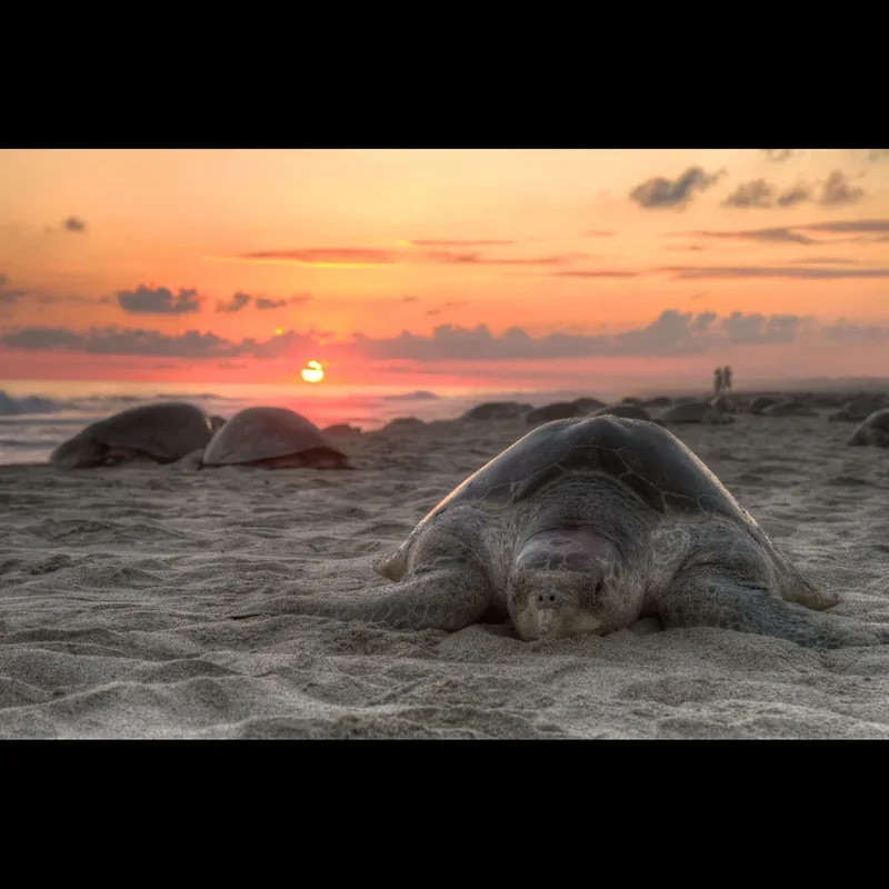
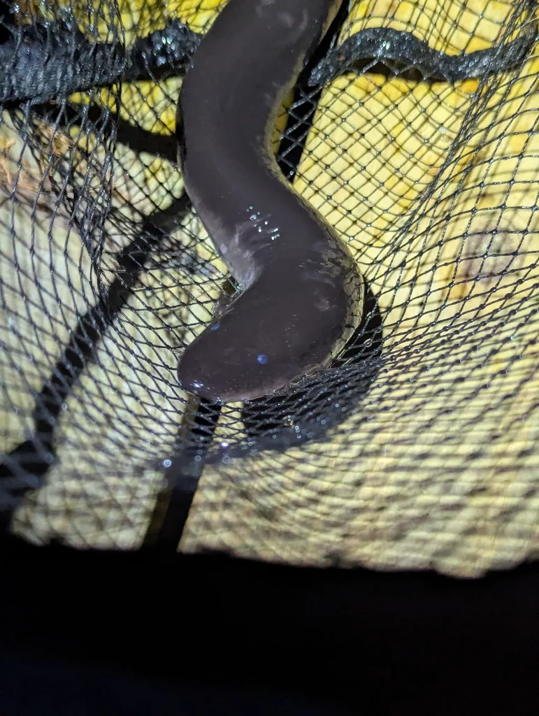
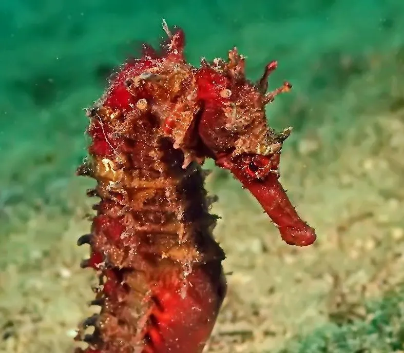
Observing marine life at Virginia Reef often begins with the structures themselves, which attract a diverse array of species. Large coral heads cover some of the wrecks, like the Benson, providing immediate habitat. Conger eels are frequently spotted on the Benson, adding an interesting predatory presence. Schools of fish commonly congregate around the intact multi-story bow of the Norvana, creating dynamic scenes for photographers. In shallower areas like the Little Creek Jetty, divers may encounter seahorses and sea turtles. The pilings of the CBBT and the Kiptopeke Concrete Ships serve as homes for various fish and crustaceans, while invertebrates colonize nearly every surface.
Dive Centers Near Virginia Reef
Working Hours
Today: 09:00 - 16:00
Nearest Airports
Nearest airports to help plan travel to this dive area.
Search Flights
Check available flights and routes on Expedia, using the nearby airports listed in this section.
Search Flights on Expedia
Plan Your Stay
Looking for a place to stay for your dive trip? Explore hotels, stays, and vacation rentals for dive groups near Mexico Beach.
Dive Navigator may earn a commission from these links at no extra cost to you.
Frequently Asked Questions
What skill level is required for diving Virginia Reef?
Dive sites within Virginia Reef cater to various skill levels. Shallow shore dives are accessible to beginners. Deeper offshore wrecks, extending to recreational limits, are best suited for advanced divers due to potential currents and limited visibility.
Is shore diving available in Virginia Reef?
Yes, several shore diving opportunities exist, particularly in the Outer Banks and parts of Virginia Beach. Sites like the Little Creek Jetty offer walk-in entry, while others such as the Triangle Wrecks are accessible with a short swim from the beach.
What kind of marine life can I expect to see?
Divers often encounter conger eels, various schools of fish, and crustaceans around the wrecks and structures. In specific locations, seahorses, sea turtles, and numerous invertebrates can also be observed thriving in the habitat provided by the artificial reefs.
How clear is the water in Virginia Reef?
Visibility varies significantly. In the Chesapeake Bay, it's often low to none. Offshore boat dives generally offer better visibility, while near-shore and tidal sites frequently have reduced clarity. Local reports are important for day-to-day conditions.
Are there strong currents in this area?
Yes, strong currents can be present at several Virginia Reef sites, notably around the CBBT pilings and the Kiptopeke Concrete Ships. Diving during slack current is typically advised to manage these conditions.
What are the common dive depths?
Depths range widely across Virginia Reef. Shallow sites, like the Triangle Wrecks, are typically around 6 m. Deep wrecks such as the Norvana and Benson approach the 30-meter mark. Many sites fall within recreational dive limits.
Planning to dive Virginia Reef?
Send one inquiry and receive offers directly from the best verified local dive operators.
Virginia Reef
Conditions are Good
Best Dive Window
07:00 - 14:00
Optimal conditions expected
Current conditions near Virginia Reef show 27° air, 28° sea temperature, 0.7 m waves, and 22 km/h wind. Forecast data is refreshed regularly to ensure accuracy.