
Diving at North Gugegwe Pier Wreck (Marshall Islands)
Resting on sunlit coral sand between 4.5 and 9.1 meters just northwest of Gugegwe's main lagoon pier, North Gugegwe Pier Wreck offers an accessible underwater archaeology trail where demolished Imperial Japanese harbor craft, a massive post-invasion American mooring anchor, and decades-old glass bottles form a living patch reef.
Afternoon measurements for North Gugegwe Pier Wreck show the air has reached 28°C. The recorded surface conditions at this location feature wave heights of 1.3 m. These metrics are updated to reflect the ongoing daily shifts.
Dive Site Location & Key Facts
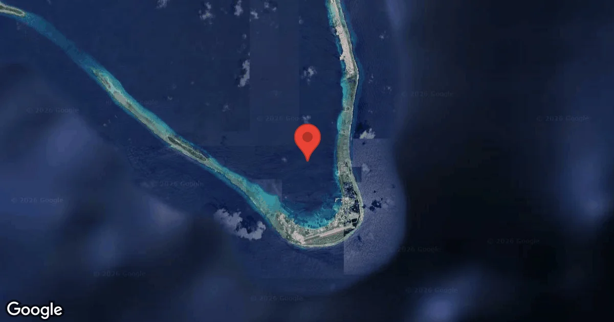
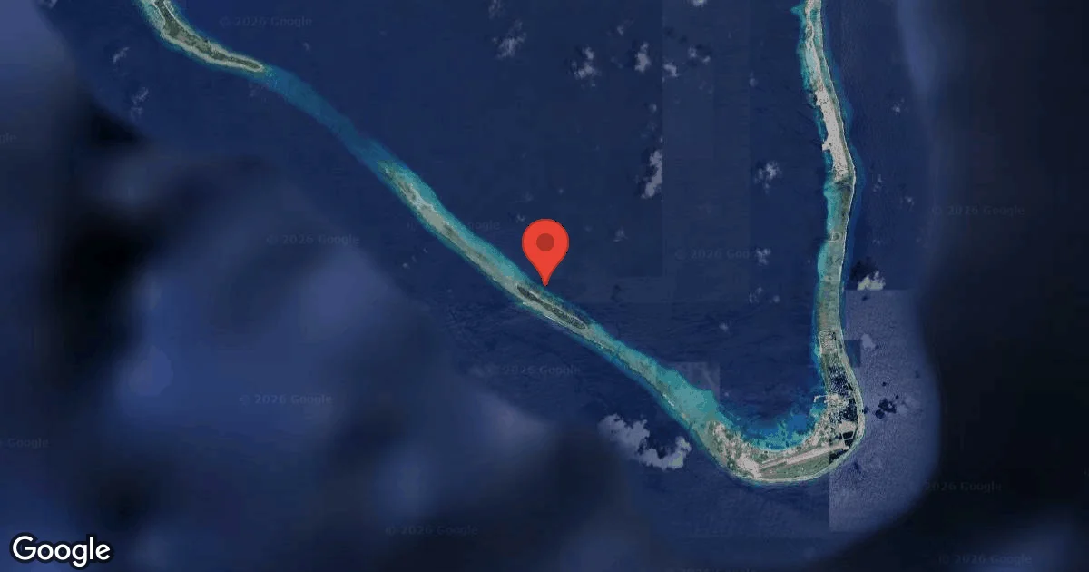
Estimated Coordinates
Coordinates are estimated from the best available maritime charts and local dive references, as exact GPS pins are not publicly confirmed. Always verify the precise entry or mooring point with a local dive operator.
Dive Site Overview
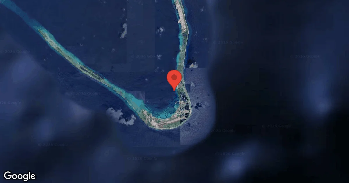
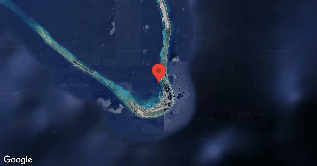
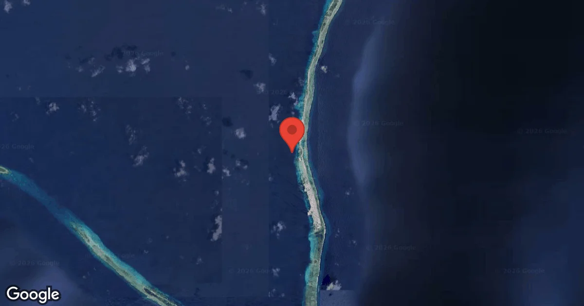
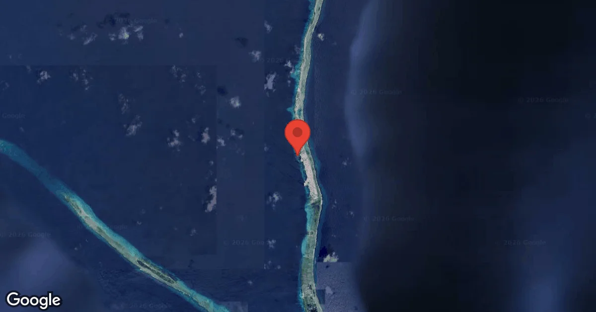
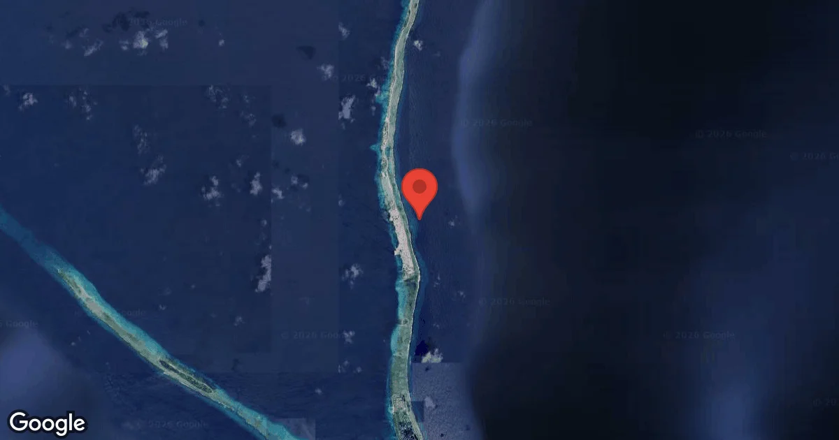
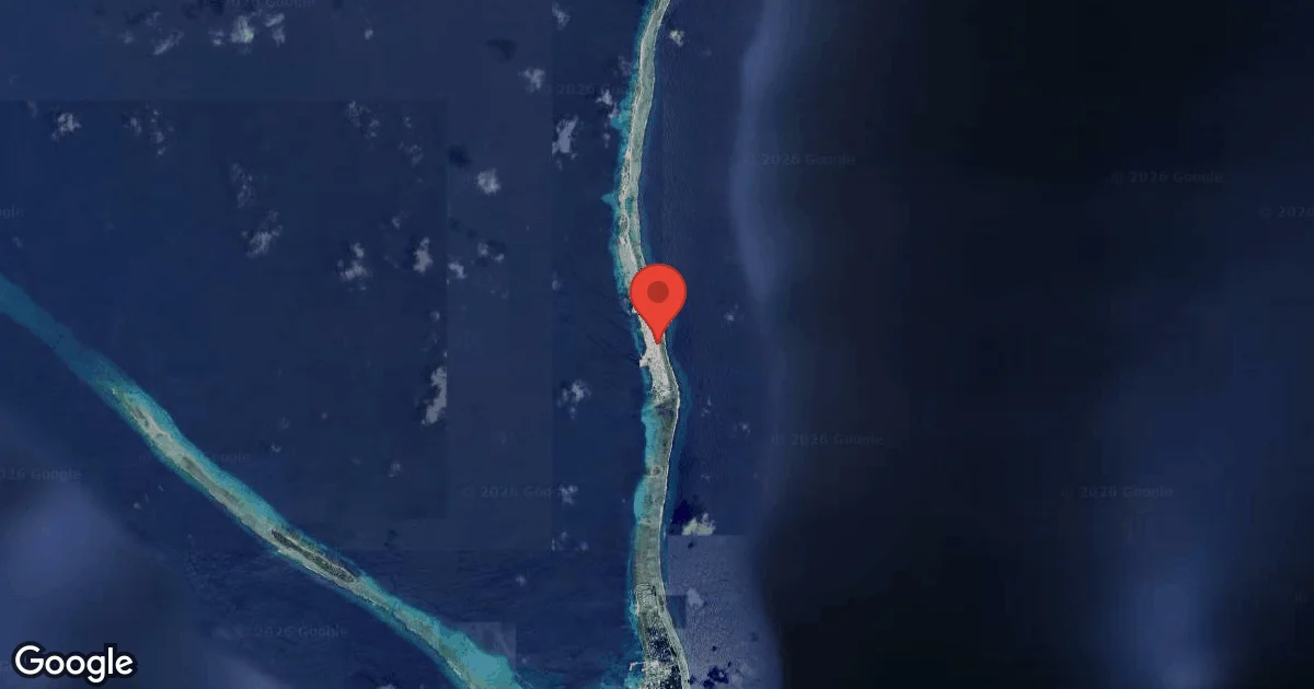
North Gugegwe Pier Wreck lies roughly 70 meters northwest of the main lagoon pier on Gugegwe (Marshallese Kōn̄e-jekāān-eņ), near the northern terminus of the causeway linking Ebeye with the eastern reef islets of Kwajalein Atoll. During Operation Flintlock in early February 1944, an estimated 30.5-meter Japanese harbor trawler or utility barge sank right across the pier approach. United States demolition teams subsequently blasted the hull flat so landing craft and supply vessels could berth safely, scattering iron hull frames, winch machinery, and deck plating across a gently sloping sandy bottom dotted with patch-reef bommies.
Because the maximum depth stays around 9.1 meters, natural tropical sunlight illuminates the entire debris field throughout a sixty-minute dive. Alongside the twisted steel plates and engine blocks sits a partially buried American stockless anchor weighing well over 1,350 kilograms, accompanied by an extensive post-battle dump of more than fifty embossed 1940s glass soda bottles and ceramic galley fragments. Hard corals and encrusting sponges have bound the wartime metal into shelter for juvenile reef fish, turning a harbor-clearance site into a calm, photogenic historical dive.
Conditions are Moderate
Optimal conditions expected
Current conditions near North Gugegwe Pier Wreck show 28° air, 30° sea temperature, 1.3 m waves, and 30 km/h wind. Forecast data is refreshed regularly to ensure accuracy.
Best Time to Dive
Kwajalein Lagoon stays warm all year with water temperatures hovering around 27 to 29 degrees Celsius. During the northeast trade-wind season from December through April, the eastern islet chain shields Gugegwe's lagoon shoreline from open-ocean swell, creating calm entries and 15 to 22 meters of visibility. Late summer doldrums from August to October bring glassy surface conditions across the entire lagoon, though occasional westerly squalls can stir fine carbonate sand around the pier pilings.
PEAK SEASON SCORE
Scores combine air & water temps, waves, wind & rainfall for overall conditions.
BEST MONTHS TO DIVE
Monthly records compiled from satellite and marine observation nodes over the last 3 years. Data provided by Open-Meteo and MET Norway.
Dive Experience & Conditions
Divers can reach the wreck field either by short skiff transfer from Ebeye or via a controlled shore swim from the beach adjacent to Gugegwe Pier after coordinating with local landowners. Navigation is straightforward: follow the edge of the pier shadow northwest onto the white sand flat at 5 meters and trace the trail of iron frames outward to 9 meters. Currents are negligible inside the lee of the islet, allowing slow macro photography and unhurried inspection of the heavy anchor flukes, riveted plates, and coral-encrusted bottle clusters.
Dive Difficulty & Safety Guidelines
All submerged wartime wreckage and bottle scatters in Kwajalein Lagoon are protected cultural heritage under Republic of the Marshall Islands Historic Preservation Office law; examine glass bottles and ship fittings in place without lifting or collecting souvenirs. Maintain trim above the sand to preserve visibility, watch for corroded steel edges and discarded fishing line near the pier, and treat any cylindrical metal object as potential unexploded ordnance by keeping a wide berth. Always deploy a surface marker buoy before ascending clear of local boat traffic.
Recommended Equipment
Overhead / entanglement risk. Wreck penetration requires proper training.
- Dive Computer
- DSMB
- Primary & Backup Lights
- Wreck Reel
- Cutting Tool
- Hard-soled Dive Boots
This gear list is based on verified equipment signals for North Gugegwe Pier Wreck, Marshall Islands. Always confirm final gear choices with your dive operator, guide, or liveaboard.
Recommended Dive Suit
Forecast models show minimal temperature variation in the coming days.
Some divers prefer slightly warmer exposure protection simply for additional comfort. Stronger winds may also make surface intervals feel cooler than usual.
Dive skin or rash guard usually works well for maintaining comfort during standard dive profiles in these conditions. Consider warmer surface protection (like a boat coat) due to brisk winds. The latest environmental readings for North Gugegwe Pier Wreck suggest water temperatures around 30°C (85°F). Surface air temperatures are resting at 28°C (82°F).
Emergency & Medical Support
Essential information to help you plan your dive trip to North Gugegwe Pier Wreck.

Hyperbaric chambers are a critical part of dive safety infrastructure. Availability varies significantly by region, and not all dive areas have immediate access.
Before diving, it's recommended to:
- confirm nearest medical facilities
- check emergency procedures with local dive operators
- ensure dive insurance covers evacuation if required
Divers Alert Network
Diving emergency assistance available through DAN World.
+1-919-684-9111- 24/7 emergency hotline
- Diving medical assistance
- Evacuation coordination
Emergency contacts are provided for reference. Always verify local emergency services before diving.
Marine Life at North Gugegwe Pier Wreck
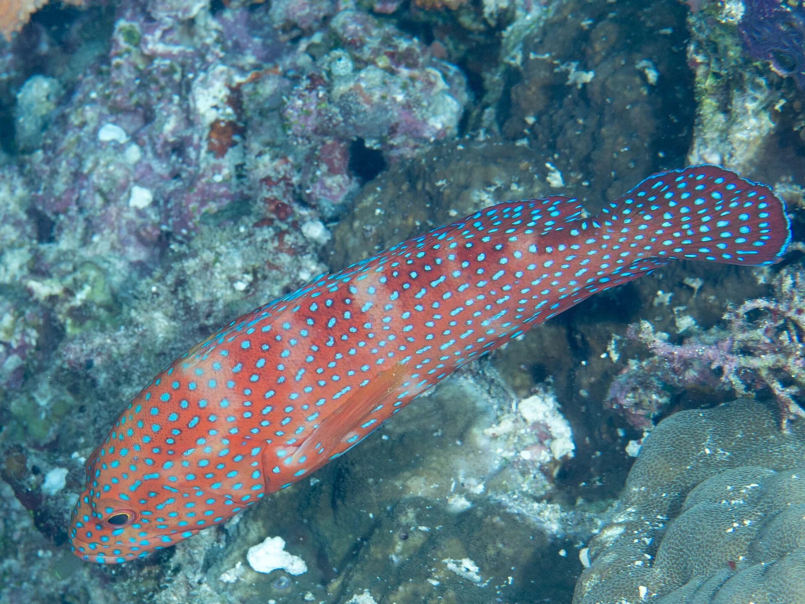
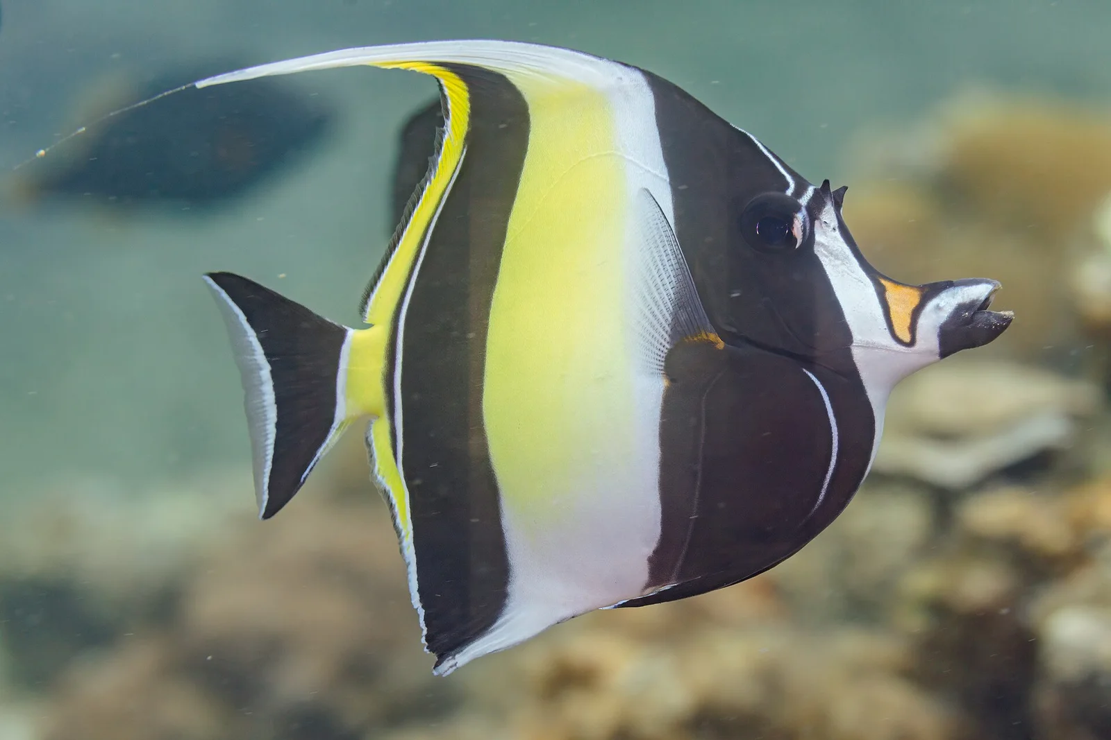
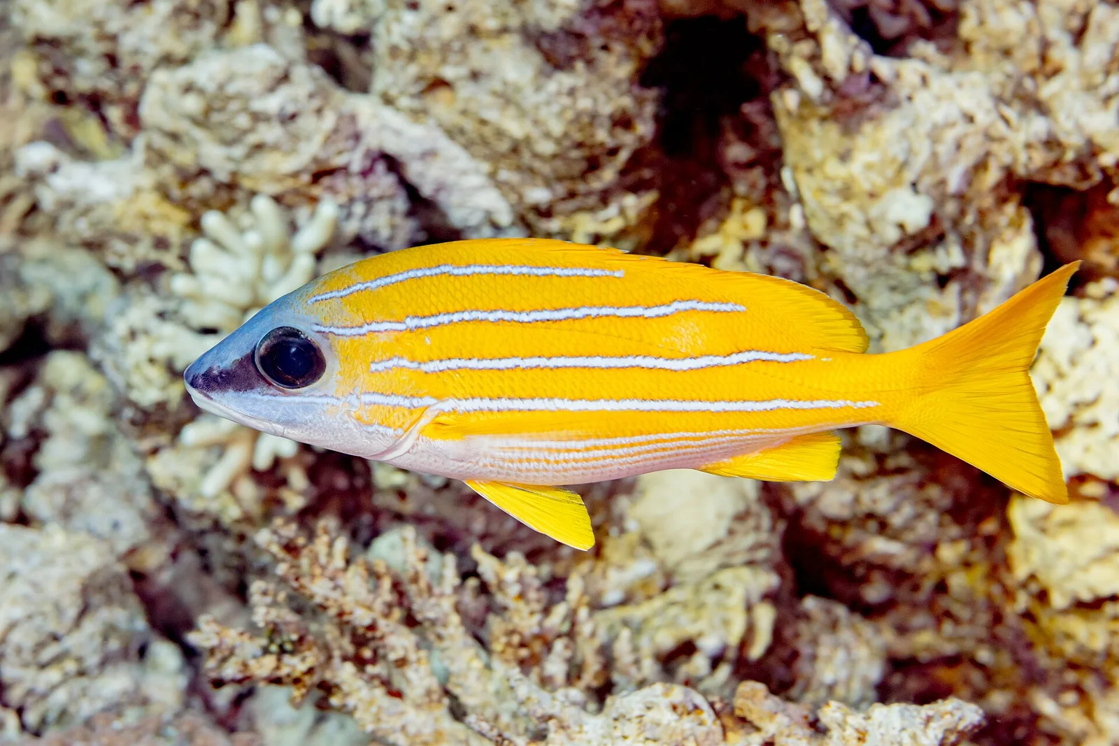
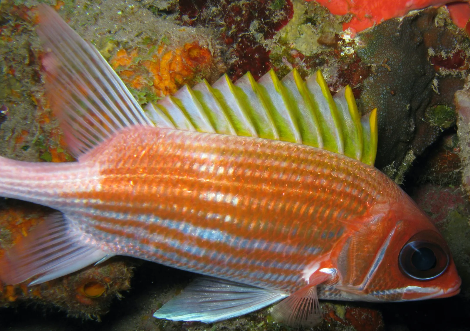
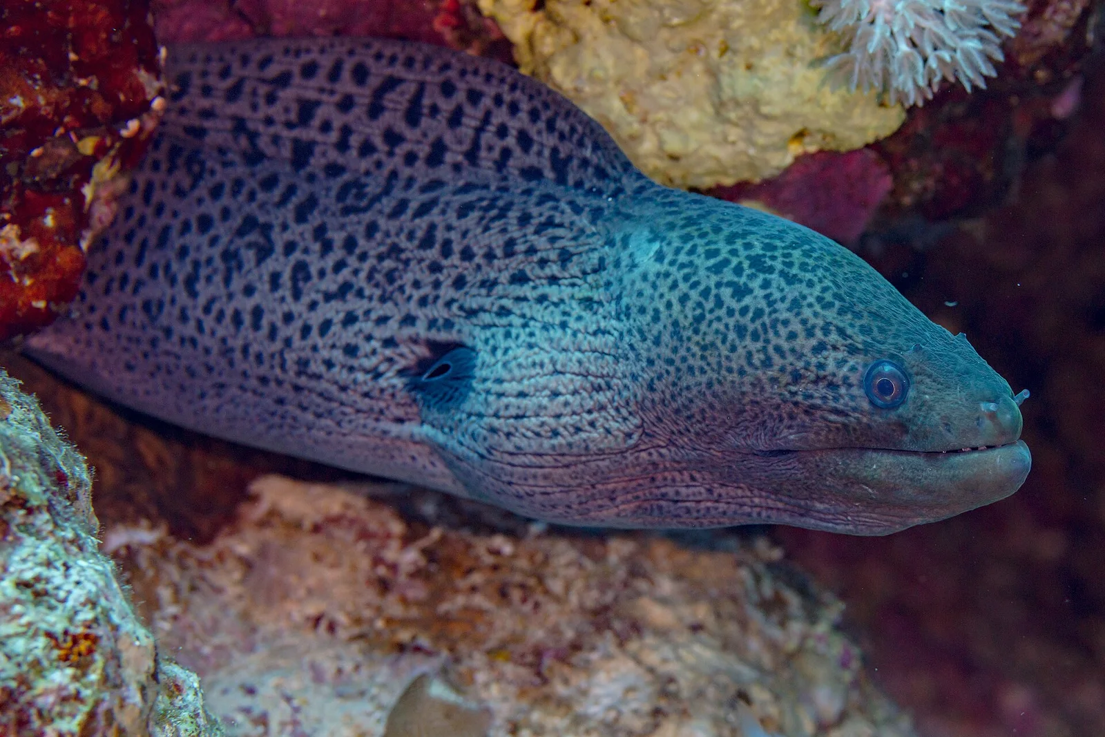
Isolated coral heads and blasted steel ribs act as oasis habitats on the open lagoon sand. Schools of bluestripe snappers and yellowfin goatfish hover beneath buckled hull plates, while giant morays and honeycomb groupers claim dark crevices around the machinery block. Anemones colonized by Clark's anemonefish crown nearby bommies, and banded coral shrimp, lionfish, and Moorish idols patrol the encrusted anchor chain.
Dive Sites Near North Gugegwe Pier Wreck
View all dive sites in Marshall IslandsDiscover more underwater gems in this area.
Dive Centers Near North Gugegwe Pier Wreck
No Dive Centers Local To North Gugegwe Pier Wreck
Are you a dive center visiting this location? Get listed to reach divers.
Nearest Airports
Nearest airports to help plan travel to this dive area.
Frequently Asked Questions
How deep is North Gugegwe Pier Wreck?
The wreck scatter rests on a shallow sandy slope between 4.5 and 9.1 meters, allowing long bottom times and bright natural-light photography.
Why is the hull broken apart rather than upright?
After the February 1944 battle for Kwajalein, military salvage teams intentionally demolished the sunken 30-meter Japanese vessel with explosives so it would not block supply craft approaching Gugegwe Pier.
Can beginners dive North Gugegwe Pier Wreck?
Yes. Sheltered lagoon water, minimal current, and a 9-meter maximum depth make it one of the most approachable historical dives in Kwajalein Atoll.
Are divers allowed to pick up the vintage glass bottles on the seabed?
No. Every wartime artifact, including the 1940s embossed glass soda bottles and ship fittings, is legally protected under Marshall Islands historic preservation law and must remain untouched.
How is the site accessed?
Most teams arrive by small boat from Ebeye or Kwajalein, though shore entry near Gugegwe Pier is also practical when arranged respectfully with local island residents.
Are there unexploded ordnance hazards near Gugegwe?
While the main debris trail consists of hull iron, anchors, and bottles, post-war clearance pushed wartime debris off many Kwajalein piers, so divers must never touch unfamiliar metal cylinders.
Planning to dive North Gugegwe Pier Wreck?
Tell us your dates and diving needs. We'll review your request and seek offers from relevant local dive centers.
Request Dive OffersConditions are Moderate
Optimal conditions expected
Current conditions near North Gugegwe Pier Wreck show 28° air, 30° sea temperature, 1.3 m waves, and 30 km/h wind. Forecast data is refreshed regularly to ensure accuracy.