
Diving in Marshall Islands
Marshall Islands features a variety of dive sites, where conditions depend on both environmental factors and site characteristics. There are currently 12 dive sites mapped on our platform within Marshall Islands.
Spread across the central North Pacific midway between Honolulu and Tokyo, the Republic of the Marshall Islands comprises 29 coral atolls and five isolated reef islands arranged in two parallel archipelagos—the eastern Ratak ("Sunrise") chain and western Ralik ("Sunset") chain—spaced roughly 208 km (129 mi) apart. According to Secretariat of the Pacific Regional Environment Programme marine resource profiles, the entire nation totals just 181 km² (70 sq mi) of low coral land averaging under 2.5 m (8 ft) in elevation (peaking at 10 m / 33 ft), yet encloses more than 11,670 km² (4,507 sq mi) of sheltered turquoise lagoons surrounded by sheer ocean drop-offs.
Beneath the surface, the archipelago delivers two distinct tiers of Pacific diving. In the remote northwest, Bikini Atoll preserves history's only diveable nuclear-test fleet—capital warships, submarines, and destroyers sunk during July 1946 atomic trials—while Kwajalein Atoll holds the world's largest coral lagoon and dozens of World War II shipwrecks and aircraft. In the accessible south, field transects from scleractinian coral biodiversity surveys across Majuro Atoll document 135 reef-building hard-coral species across 44 genera dominated by branching Acropora, massive Porites, and Pocillopora tables along current-flushed channels where grey reef sharks, manta rays, and schooling pelagics patrol uncrowded outer walls.
Dive Map of Marshall Islands
Scuba diving in the Marshall Islands is structured around four widely separated atoll clusters across a single UTC+12 time zone. Along the Southern Ratak Chain, the capital atoll of Majuro serves as the primary international aviation hub, with steep leeward ocean walls along its northern rim, tidal passes at Calalin Channel, and boat crossings of 19 km (12 mi) east across deep open water to Arno Atoll, whose three horn-shaped reef arms drop straight into blue pelagic water. Further south and southwest, outer islands such as Mili and Jaluit combine World War II relics with remote coral passes.
Up the Western Ralik Chain, Kwajalein Atoll lies roughly 430 km (265 mi) northwest of Majuro, wrapping around a vast central basin leased in part to U.S. Army Garrison-Kwajalein Atoll and bordered by the civilian Marshallese community on Ebeye Island, the embarkation port for northern wreck expeditions. Another 400 km (250 mi) northwest—a 26 to 30 hour open-ocean motor from Kwajalein—sits uninhabited Bikini Atoll, whose 594 km² (229 sq mi) lagoon shelters the deep sunken fleet of Operation Crossroads, while neighboring Rongelap Atoll to the east features high-voltage channel drifts and intact Acropora pinnacles.
Dive Sites to Explore
View all 12 sites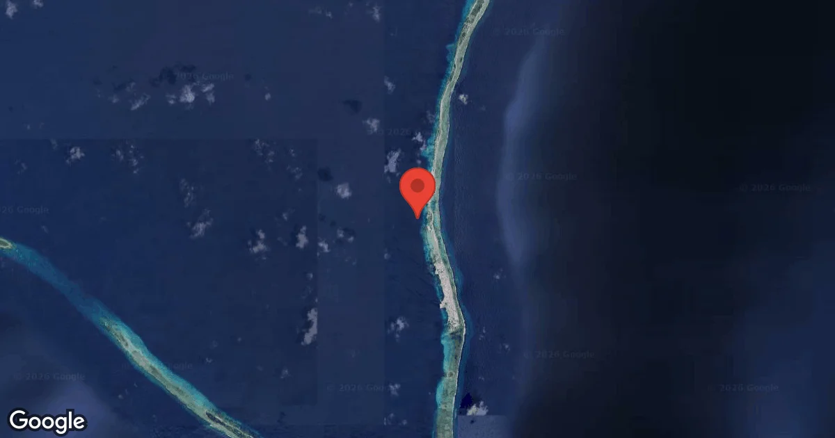
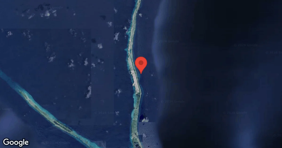
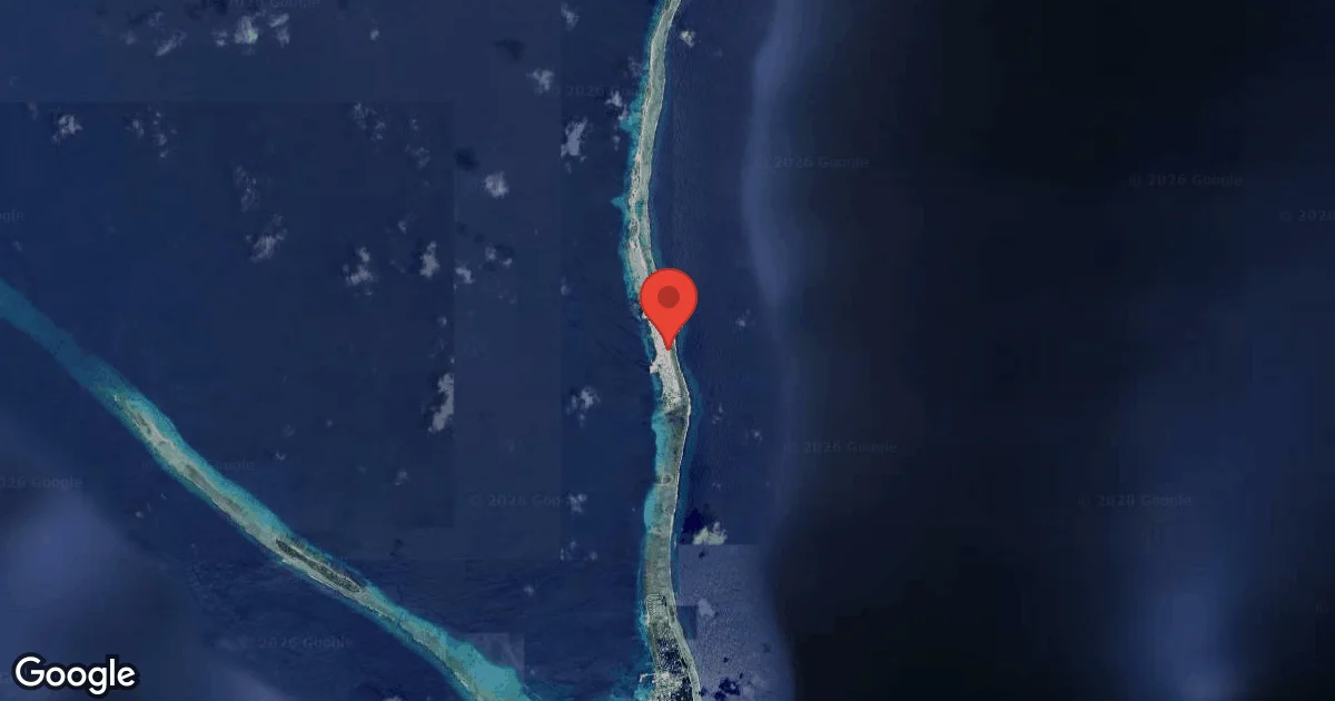
Bikini Atoll's underwater museum stems from July 1946, when U.S. Naval History and Heritage Command records of Operation Crossroads document a 95-vessel target fleet moored in Bikini Lagoon for the Able aerial blast on 1 July and the 27 m (90 ft) Baker underwater detonation on 25 July—the opening salvo of 23 nuclear tests conducted at Bikini through 1958. Centerpiece of the lagoon is the 271 m (888 ft) aircraft carrier USS Saratoga (CV-3), resting upright at 51 m (167 ft) with her flight deck around 25–27 m (82–89 ft), Helldiver aircraft and 500-pound bombs in the hangar, twin Navy Mark V dive helmets beside the munitions elevator, and an intact 41 m (135 ft) sick bay and four-chair dental office. Nearby lies the 225 m (738 ft) Imperial Japanese Navy battleship HIJMS Nagato—Admiral Isoroku Yamamoto's Pearl Harbor flagship—inverted at 33–52 m (108–170 ft) with four giant propellers overhead and 15 m (50 ft) 16-inch gun barrels below. As detailed in Divers Alert Network technical wreck assessments of Bikini Atoll, the fleet also includes the dreadnought USS Arkansas (26–55 m), intact upright Balao-class submarines USS Apogon and USS Pilotfish (40–52 m), and destroyers USS Lamson and USS Anderson (36–51 m), all dived exclusively via liveaboard using trimix and closed-circuit rebreathers across two-hour staged decompression profiles.
At Kwajalein Atoll—frequently dived as a check-out stop before or after the Bikini crossing—U.S. Navy Supervisor of Salvage oil-removal reports for Ex-USS Prinz Eugen place the 212 m (697 ft) German heavy cruiser Prinz Eugen Wreck capsized bow-down in 41 m (134 ft) off Enubuj (Carlson Island), while her stern, rudder, and port propeller blade break the surface in snorkeling depth after a 2018 Navy operation extracted 229,000 gallons of bunker fuel; nearby lagoon anchorages also hold the deep freighter Akibasan Maru and submerged WWII flying boats such as the North Mavis Flying-Boat Wreck off Ebeye. For recreational single-tank divers based in the south, Majuro's Calalin Channel (10–40+ m) funnels incoming flood tides past towering coral bommies and shark cleaning stations into the sheltered Aquarium bowl, Kalalen Wall and Laura (8–40+ m) plunge down gorgonian-draped outer walls, and day boats cross to pristine Acropora tables and pelagic promontories along neighboring Arno Atoll.
Best Time to Dive in Marshall Islands
Situated inside the Western Pacific Warm Pool, the Marshall Islands can be dived all year, though wind belts dictate which atolls are accessible—a pattern documented in Marshall Islands National Weather Service and PCCSP climate analyses. During the calm expedition season from May to October, northeast trade winds slacken across the northern Ralik Chain, calming open-ocean swells for the 26–30 hour liveaboard crossing from Kwajalein to Bikini Atoll and delivering 30–50 m (100–165 ft) outer-reef visibility alongside 28.6–29.3°C (83.5–84.7°F) water; southern atolls experience heavier tropical rain squalls, though coral passes flush clean on incoming tides.
From December to April, the northeast trade-wind dry season drops rainfall sharply—especially across drier northern atolls receiving under 1,250 mm (50 in) annually compared with 2,500+ mm (100+ in) in the south—making leeward south- and west-facing walls around Majuro comfortable for shore-based boat diving while brisk 15–22 knot trades roughen windward channels and close northern Bikini liveaboard operations. During the September to November transition, the warmest water of the year (29.2–29.3°C / 84.6–84.7°F) brings glassy afternoons and manta ray activity around channel mouths, though operators monitor tropical disturbances forming eastward during El Niño years.
Monthly Sea Temperatures
Long-term satellite monitoring at the NOAA Coral Reef Watch Marshall Islands virtual station shows remarkably uniform equatorial-Pacific sea surface temperatures varying by only 1.5°C (2.7°F) across the entire calendar year, from 27.8°C (82.0°F) in February to 29.3°C (84.7°F) in September.
| Jan | Feb | Mar | Apr | May | Jun | Jul | Aug | Sep | Oct | Nov | Dec | |
|---|---|---|---|---|---|---|---|---|---|---|---|---|
| Max | 28° | 28° | 28° | 29° | 29° | 29° | 29° | 30° | 30° | 30° | 29° | 29° |
| Avg | 28° | 28° | 28° | 28° | 29° | 29° | 29° | 29° | 29° | 29° | 29° | 28° |
| Min | 28° | 27° | 28° | 28° | 28° | 29° | 29° | 29° | 29° | 29° | 29° | 28° |
Dive Conditions
Outer ocean drop-offs and incoming-tide atoll passes routinely reach 25–50 m (82–165 ft) of visibility, whereas deep lagoon bottoms inside Bikini and Kwajalein average 15–30 m (50–100 ft) with occasional suspended coral-sand particulate ("milky" haloclines) below 35 m (115 ft). Inside Bikini and Kwajalein lagoons, bottom currents remain mild below 15 m (50 ft), while narrow tidal passes such as Majuro's Calalin Channel and Rongelap's Kabelle Pass generate swift 2–4+ knot tidal flows requiring reef-safe drift discipline and surface marker buoys (DSMBs).
Although surface-to-thermocline water stays at 27.8–29.3°C (82–85°F)—comfortable in a 3 mm shorty or full suit on single-tank reef dives—technical divers completing 90 to 120+ minute decompression hangs at Bikini wear 5 mm wetsuits, heated vests, or lightweight trilaminate drysuits to prevent cumulative thermal chill.
Marine Life Highlights
Most Mentioned Species
Marine life in Marshall Islands varies across dive locations, with different species appearing depending on environment and conditions. The species highlighted here are the most frequently associated with dive sites in our data, offering a realistic overview of what divers are most likely to encounter.
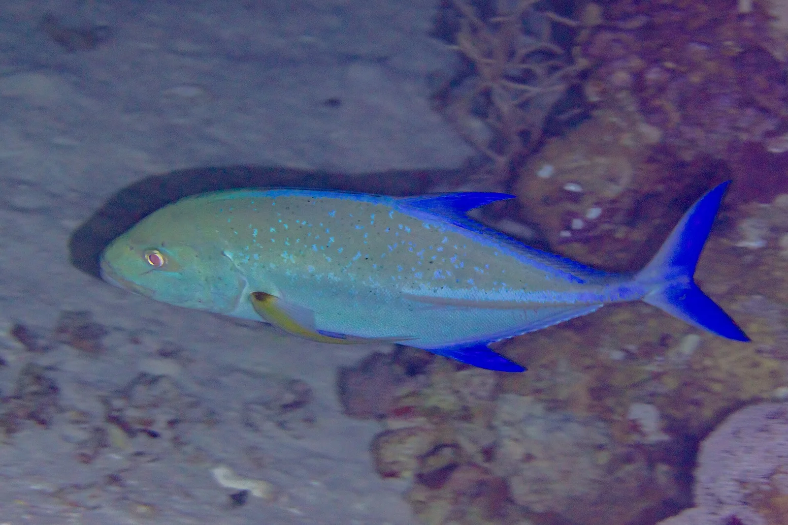
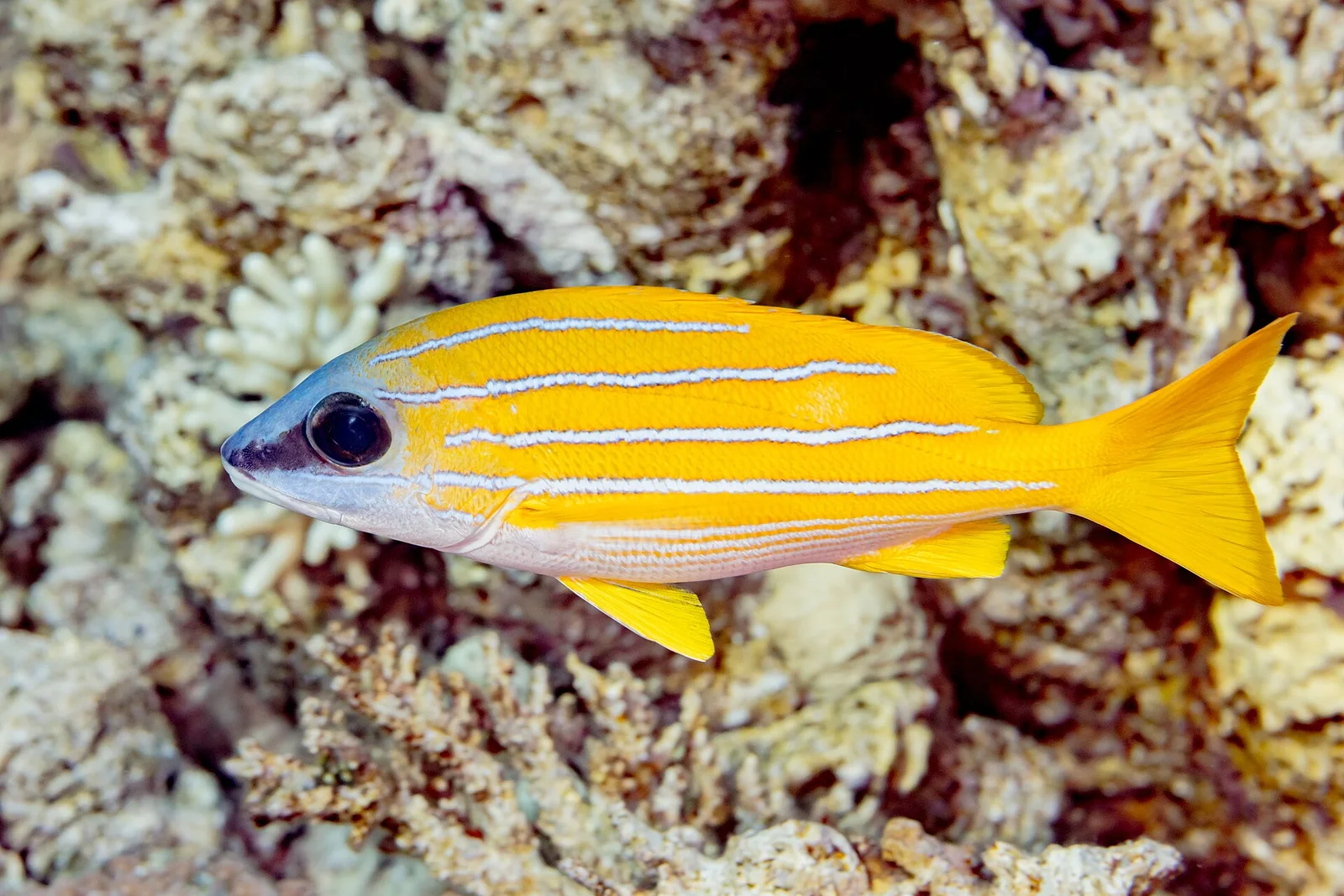
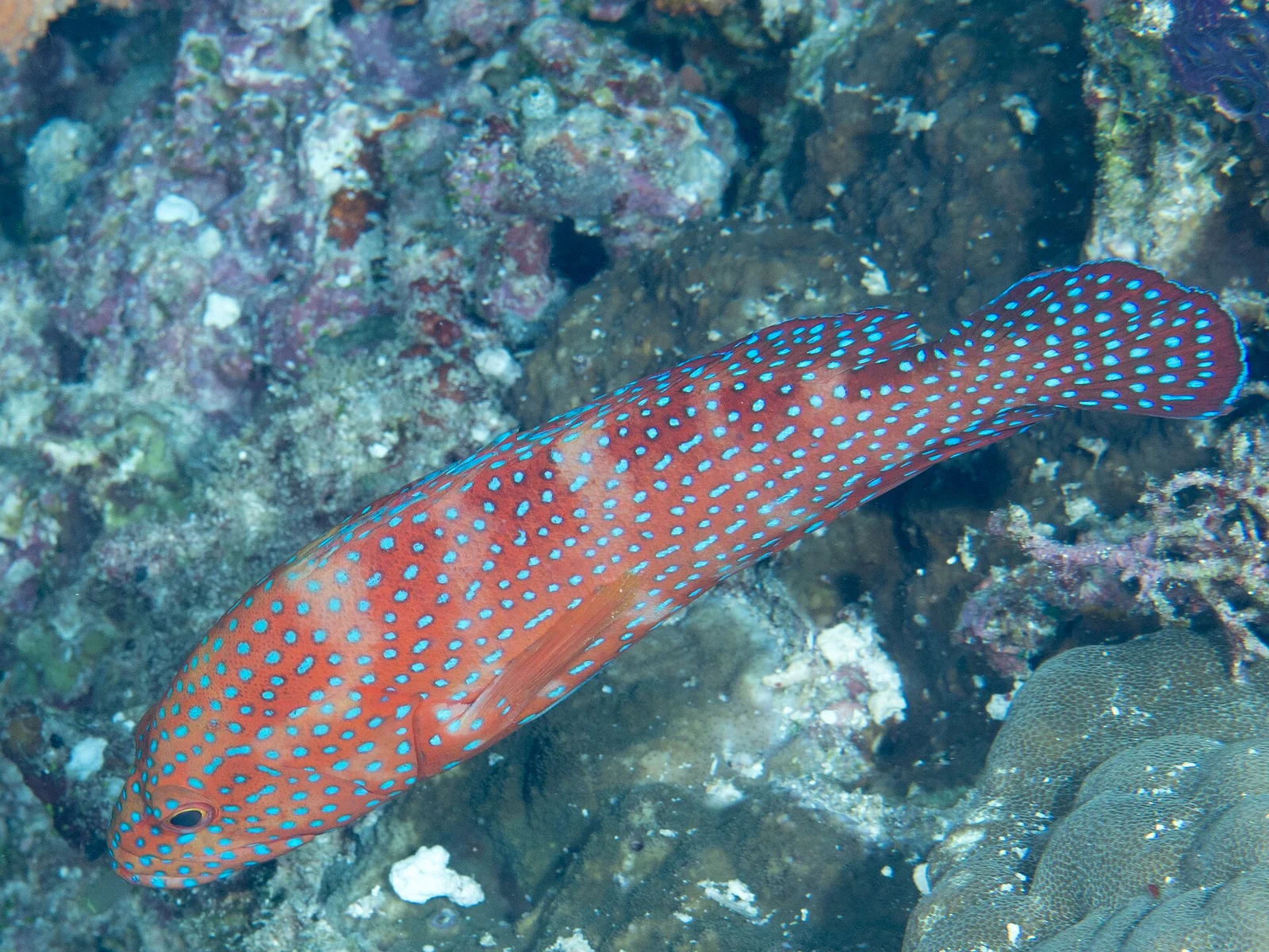
In October 2011, the Marshallese parliament (Nitijela) enacted landmark legislation banning commercial shark fishing and the sale or possession of shark fins nationwide—creating a 1,990,530 km² (768,547 sq mi) Exclusive Economic Zone reserve examined in James Cook University policy analyses of the Marshall Islands Shark Sanctuary. Divers descending on outer reef corners and Bikini's deep warship superstructures routinely encounter dense patrols of grey reef sharks, whitetip and blacktip reef sharks, silvertips, tawny nurse sharks, and occasional scalloped hammerheads and tiger sharks.
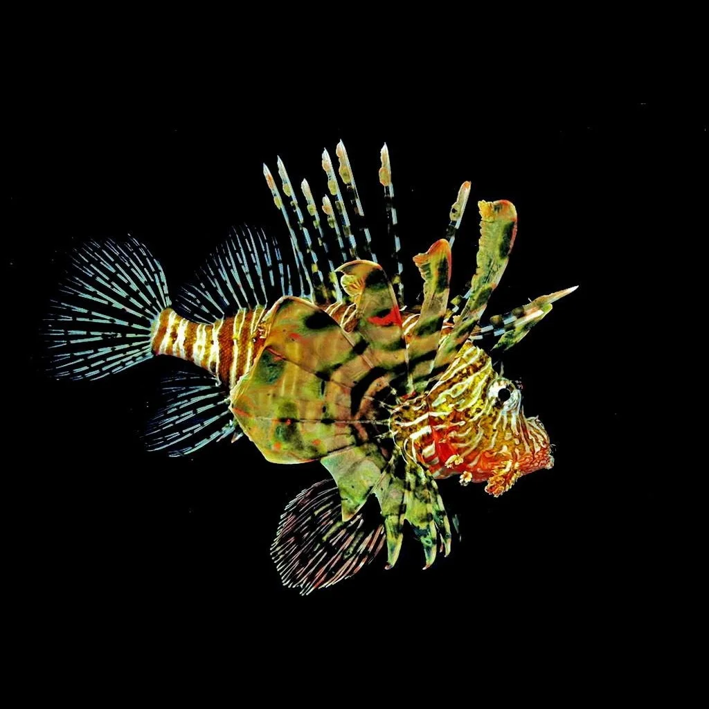
Tidal channels across Majuro, Arno, and Mili funnel plankton-rich ocean water past cleaning stations visited by reef manta rays (Mobula alfredi), spotted eagle rays, dogtooth tuna, wahoo, barracuda chevrons, bigeye trevally tornadoes, Napoleon (humphead) wrasse, and bumphead parrotfish. Closer to the reef matrix—supported by NOAA Coral Reef Conservation Program partnerships under the Micronesia Challenge and the national Reimaanlok community conservation framework—giant Tridacna clams, hawksbill and green sea turtles, flame angelfish, leaf scorpionfish, and clouds of anthias and fusiliers carpet sprawling Acropora table gardens and giant gorgonian fans.
Regions for Diving
Bikini Atoll (Northern Ralik Chain)
UNESCO-inscribed Cold War wreck sanctuary reached only on 10 to 14 night technical liveaboards (May–October) out of Kwajalein/Ebeye, home to USS Saratoga, HIJMS Nagato, USS Arkansas, USS Apogon, USS Pilotfish, USS Lamson, and USS Anderson.
Kwajalein Atoll & Ebeye (Central Ralik Chain)
Enclosing one of Earth's largest coral lagoons, offering accessible boat dives on the capsized cruiser Ex-USS Prinz Eugen, WWII cargo ships, and twin-engine aircraft wrecks subject to military range and local community permissions.
Majuro & Arno Atolls (Southern Ratak Chain)
Primary base for land-based recreational diving from the Delap-Uliga-Darrit (D-U-D) waterfront, pairing Calalin Channel drifts and northern Majuro walls with fast day-boat runs across to Arno Atoll's untouched hard-coral drop-offs.
Rongelap, Mili & Outer Atolls
Expedition-grade outer islands visited only by special charter yacht or self-sufficient expedition permit, featuring high-energy shark passes at Rongelap and WWII coastal relics and giant clam reefs around Mili and Jaluit.
Travel & Passport Guide
Travel Basics
Trip Planning
Under UK Foreign, Commonwealth & Development Office entry guidance for the Marshall Islands, passports must hold at least 6 months validity beyond arrival with proof of onward travel; U.S. citizens enter visa-free, British and European Union tourists receive visa-free entry on arrival (up to 90 days), and non-U.S. nationals transiting Honolulu or Guam must hold an approved U.S. ESTA or transit visa.
Visa requirements depend on your nationality. Check official government sources before traveling.Safety & Diving Considerations
International travellers fly into Amata Kabua International Airport (MAJ) on Majuro Atoll or Bucholz Army Airfield (KWA) on Kwajalein Atoll via United Airlines' trans-Pacific Island Hopper route connecting Honolulu (HNL) and Guam (GUM), complemented by regional Nauru Airlines links; Bikini liveaboard divers transit KWA under pre-arranged U.S. military sponsor clearance and transfer directly by boat shuttle to civilian Ebeye Dock. As confirmed in the U.S. Department of State travel advisory for the Marshall Islands, the United States Dollar (USD) is the official currency—bring ample crisp U.S. cash for outer-island vendors and Majuro's US$20 cash international departure fee (US$2 on domestic hops for ages 13–59), note North American 120V / 60Hz (Type A and B) plugs, and never export coral or sea-turtle shell.
Majuro has no decompression or hyperbaric chamber, and public hospital resources on Majuro and Ebeye are basic (for local emergencies in Majuro, dial 625-4144 or 625-4543 for an ambulance and 625-8666 for police; U.S. Embassy Majuro +692-247-4011). Although U.S. Army Garrison-Kwajalein Atoll maintains a military recompression chamber for base operations and Bikini technical liveaboards carry a portable emergency recompression chamber onboard for the 26–30 hour open-sea transit, serious diving injuries require fixed-wing air-ambulance evacuation to Honolulu or Guam frequently exceeding US$100,000—making comprehensive DAN or equivalent technical/recreational evacuation insurance mandatory before departure.
Long-term peer-reviewed radiological assessments of Bikini Atoll confirm that continuous Pacific tidal flushing diluted radioactivity in Bikini's lagoon water and marine sediments to safe ambient background levels, making wreck diving radiologically safe. However, terrestrial island soils still retain Cesium-137, which bioaccumulates heavily in local coconuts, pandanus fruit, breadfruit, and coconut crabs—visitors going ashore at Bikini must eat exclusively ship-supplied provisions and never consume local coconuts, fruit, or crabs. Underwater across Bikini, Kwajalein (Prinz Eugen), Majuro, and Mili, live World War II bombs, torpedoes, depth charges, and decaying fuel bunkers remain inside and around wrecks: never touch, bump, or disturb any ordnance or corroded bulkhead.
Dive Centers in Marshall Islands
0 dive centersRequest Dive Offers from Local Centers
Tell us your dates and diving needs. We'll review your request and seek offers from relevant local dive centers in Marshall Islands.
Frequently Asked Questions
Is it safe from radiation to scuba dive the nuclear-test shipwrecks at Bikini Atoll?
Yes—oceanic water exchange flushed radioactive isotopes from Bikini Lagoon decades ago so seawater exposure during diving matches normal marine background levels, provided divers never eat locally grown coconuts, pandanus, or coconut crabs ashore (which still concentrate soil Cesium-137) and never remove artifacts from the wrecks.
Can recreational Open Water or Advanced divers join a Bikini Atoll liveaboard?
No—almost every wreck in Bikini's ghost fleet rests between 33 and 55 m (108–180 ft), so liveaboard operators require technical decompression, normoxic trimix, and closed-circuit rebreather (CCR) or twinset stage certifications; single-tank recreational divers should base themselves in Majuro and Arno instead, or dive the shallower stern of Ex-USS Prinz Eugen (3–41 m) at Kwajalein.
How do divers travel to Bikini Atoll when there are no commercial flights there?
Bikini Atoll has no commercial air service; divers fly United Airlines into Bucholz Army Airfield (KWA) on Kwajalein Atoll with pre-submitted transit authorization from their liveaboard operator, ferry straight across to Ebeye Island, and sail 26 to 30 hours northwest aboard an expedition vessel between May and October.
Is there a decompression chamber in Majuro?
No—Majuro Atoll has no hyperbaric chamber, and air-ambulance evacuations from the Marshall Islands to Honolulu or Guam routinely exceed US$100,000, so active dive accident and medical evacuation insurance is essential for every diver.
Do non-U.S. divers need a U.S. visa or ESTA just to reach the Marshall Islands?
Yes, if routing on the main flight corridor through Honolulu (HNL) or Guam (GUM)—even transit passengers changing planes at a U.S. airport must hold an approved U.S. ESTA (for Visa Waiver Program citizens) or a U.S. transit/visitor visa unless flying exclusively via non-U.S. Pacific hubs such as Nadi (NAN) and Tarawa.
Why are reef sharks so abundant on Marshall Islands channel and wreck dives?
In October 2011, the Republic of the Marshall Islands declared its entire 1,990,530 km² (768,547 sq mi) Exclusive Economic Zone a national Shark Sanctuary prohibiting commercial shark fishing and all trade in shark fins, allowing grey reef, whitetip, blacktip, and silvertip sharks to thrive across outer walls and deep lagoon wrecks.