
Diving at North Mavis Flying-Boat Wreck (Marshall Islands)
Spanning more than 36 meters across the lagoon floor northwest of Ebeye's wartime seaplane ramp, North Mavis Flying-Boat Wreck is a rare four-engine Imperial Japanese Navy Kawanishi H6K4 long-range patrol plane destroyed at its mooring during the historic February 1, 1942 United States Navy carrier raid.
Midday environmental data at North Mavis Flying-Boat Wreck reports an ambient temperature of 28°C. Surface tracking indicates wave heights of approximately 1.2 m. This summarizes the present water and weather conditions.
Dive Site Location & Key Facts
Dive Site Overview
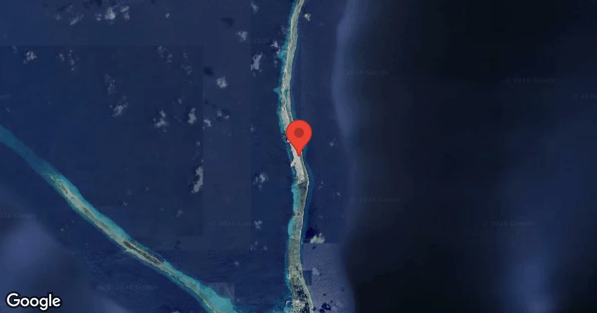
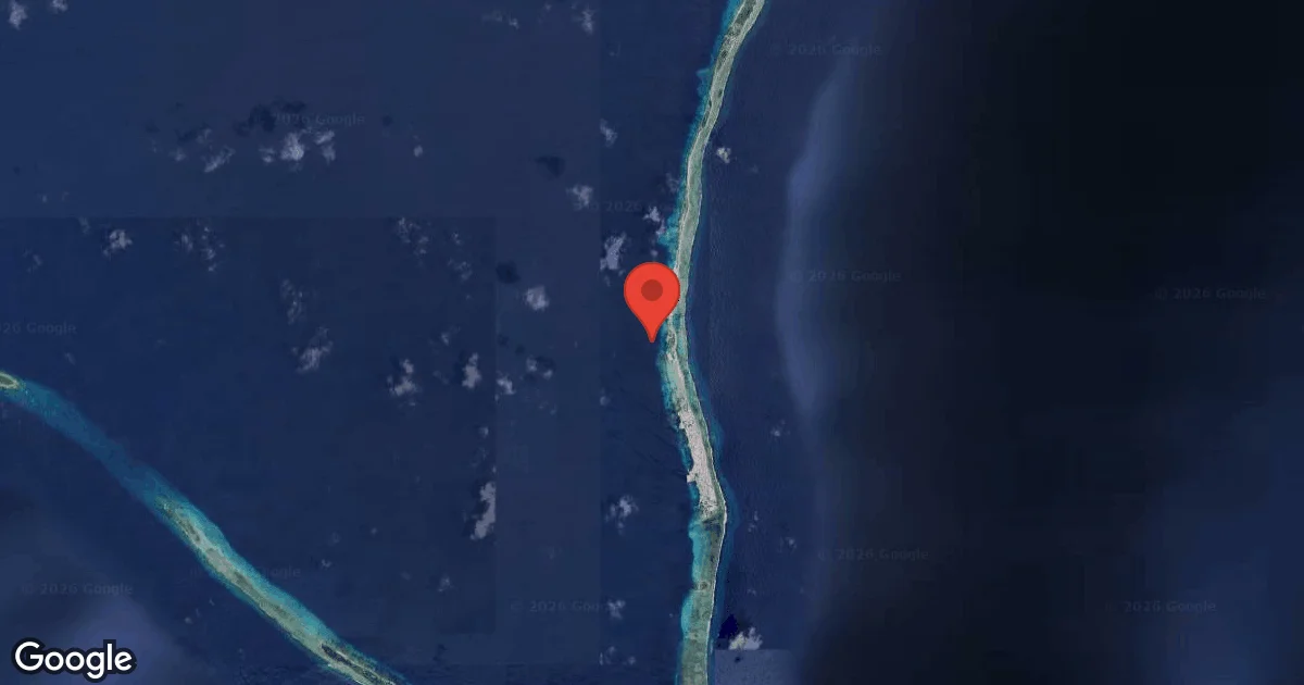
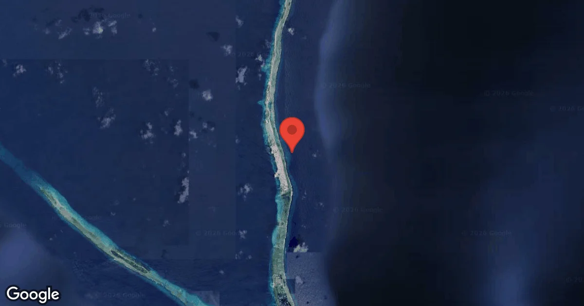
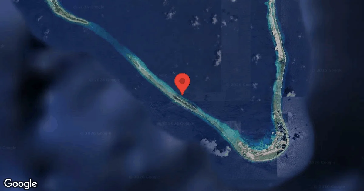
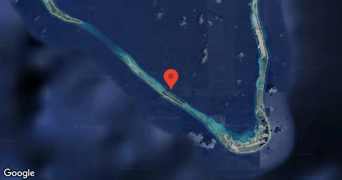
Lying roughly 275 meters west-northwest of the Main Ebeye Seaplane Ramp between 18.0 and 27.4 meters, North Mavis Flying-Boat Wreck (MI-KW-LA-005) preserves one of the Pacific theater's earliest combat aircraft losses. Operated by the Imperial Japanese Navy's Yokohama Kokutai out of the Ebeye seaplane base, this giant Kawanishi H6K4—Allied reporting name 'Mavis', boasting a 40-meter parasol wingspan—was strafed and bombed at its mooring buoy on February 1, 1942 by carrier aircraft launched from USS Enterprise (CV-6), America's first offensive carrier strike against Japanese-held territory.
When the flying boat sank, its massive parasol wing settled inverted across the sandy slope while the forward hull and cockpit crushed onto the overturned right wing section. Divers can trace all four Mitsubishi Kinsei radial engines, an exposed three-bladed metal propeller hub, tubular wing-float struts, the open forward bow gun mount, and the heavy steel Japanese seaplane mooring buoy still lying nearby on the seabed, creating an extraordinary aviation-archaeology time capsule.
Conditions are Moderate
Optimal conditions expected
Current conditions near North Mavis Flying-Boat Wreck show 28° air, 29° sea temperature, N/A waves, and 30 km/h wind. Forecast data is refreshed regularly to ensure accuracy.
Best Time to Dive
Northeast trade winds from December to April place Ebeye's western lagoon anchorage in calm lee water, yielding smooth skiff rides and 18 to 25 meters of visibility. August through October brings calm doldrum conditions ideal for hovering above the full 40-meter wingspan for wide-angle panoramas.
PEAK SEASON SCORE
Scores combine air & water temps, waves, wind & rainfall for overall conditions.
BEST MONTHS TO DIVE
Monthly records compiled from satellite and marine observation nodes over the last 3 years. Data provided by Open-Meteo and MET Norway.
Dive Experience & Conditions
Boat descents drop to the inverted parasol wing and radial engine nacelles between 21 and 27 meters. Moving deliberately from wingtip to wingtip reveals the scale of pre-war Japanese maritime patrol aviation: inspect the finned radial cylinders, three-bladed propeller, cockpit control linkages, open nose gun ring, and detached stabilizing pontoon braces before ascending slowly along the mooring line.
Dive Difficulty & Safety Guidelines
Aircraft aluminum skin and magnesium engine castings are far more fragile than steel ship hulls; never brace hands, knees, or camera strobes on the wing ribs, cockpit framing, or propeller blades. Stay clear of sharp torn duralumin edges and any potential live machine-gun ammunition or ordnance around the nose turret, monitor no-decompression time at 27 meters, and deploy a surface marker buoy well clear of Ebeye commuter boat lanes.
Recommended Equipment
Overhead / entanglement risk. Wreck penetration requires proper training.
- Dive Computer
- DSMB
- Primary & Backup Lights
- Wreck Reel
- Cutting Tool
This gear list is based on verified equipment signals for North Mavis Flying-Boat Wreck, Marshall Islands. Always confirm final gear choices with your dive operator, guide, or liveaboard.
Recommended Dive Suit
For many recreational divers, dive skin or rash guard provides a practical level of insulation in these conditions. A hood or vest is suggested for sensitive divers due to surface winds. Divers who tend to get cold easily may prefer slightly thicker exposure protection.
Conditions at North Mavis Flying-Boat Wreck currently place the water temperature near 29°C (85°F). Surface air temperatures are resting at 28°C (83°F).
Current forecasts indicate relatively stable conditions for the coming days.
Emergency & Medical Support
Essential information to help you plan your dive trip to North Mavis Flying-Boat Wreck.

Hyperbaric chambers are a critical part of dive safety infrastructure. Availability varies significantly by region, and not all dive areas have immediate access.
Before diving, it's recommended to:
- confirm nearest medical facilities
- check emergency procedures with local dive operators
- ensure dive insurance covers evacuation if required
Divers Alert Network
Diving emergency assistance available through DAN World.
+1-919-684-9111- 24/7 emergency hotline
- Diving medical assistance
- Evacuation coordination
Emergency contacts are provided for reference. Always verify local emergency services before diving.
Marine Life at North Mavis Flying-Boat Wreck
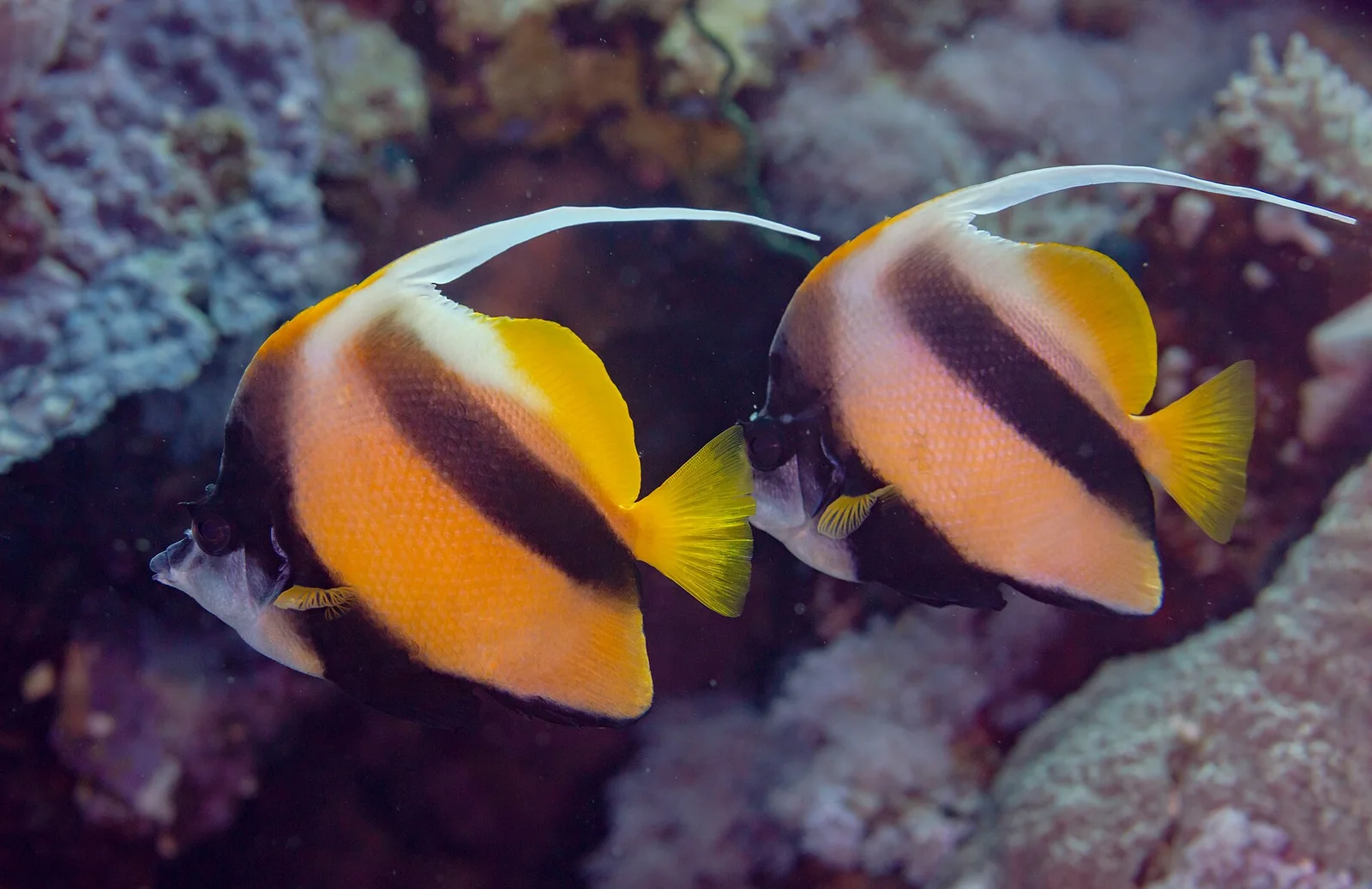
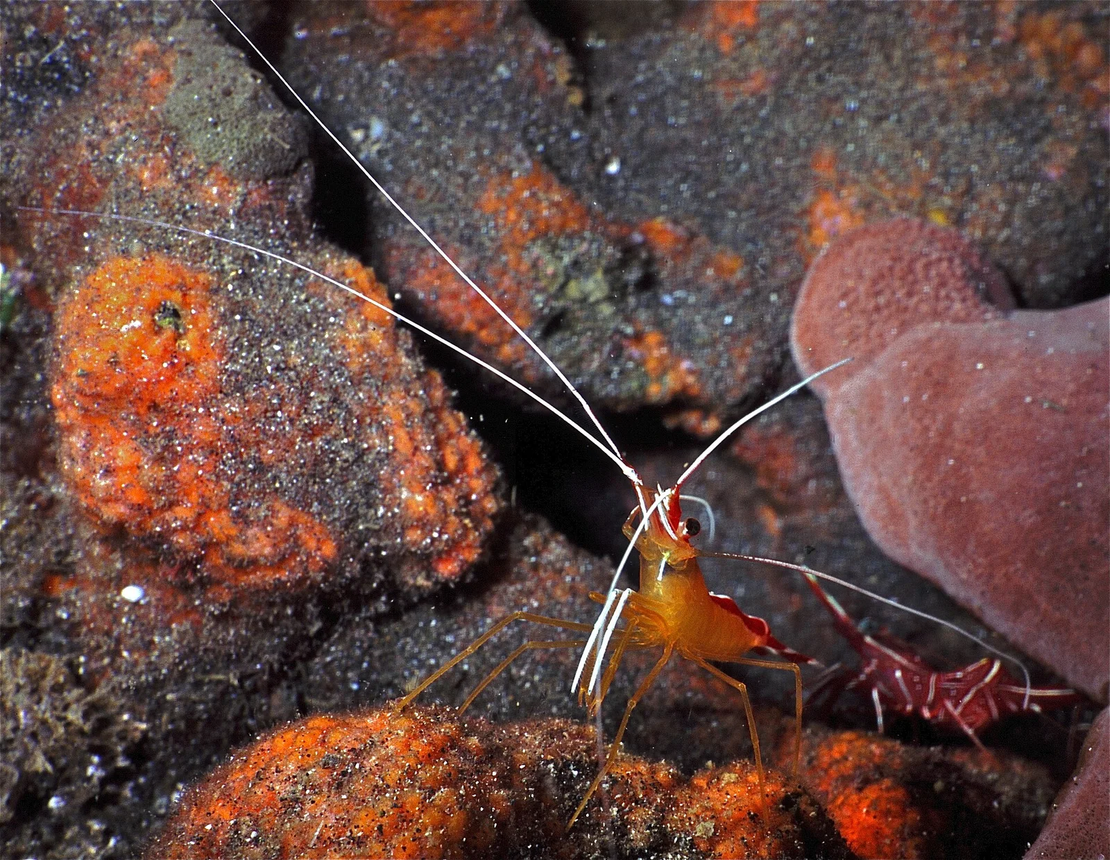
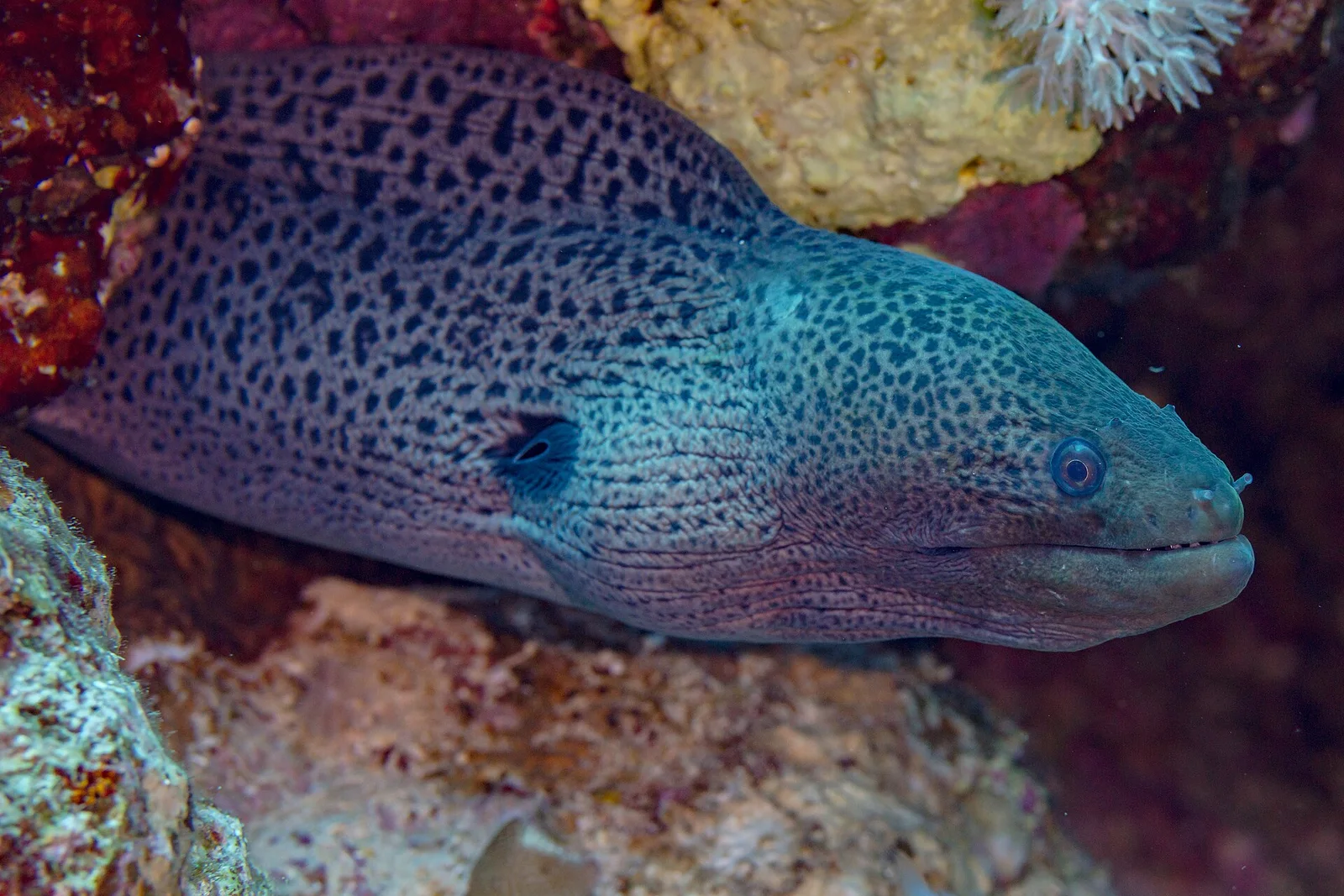
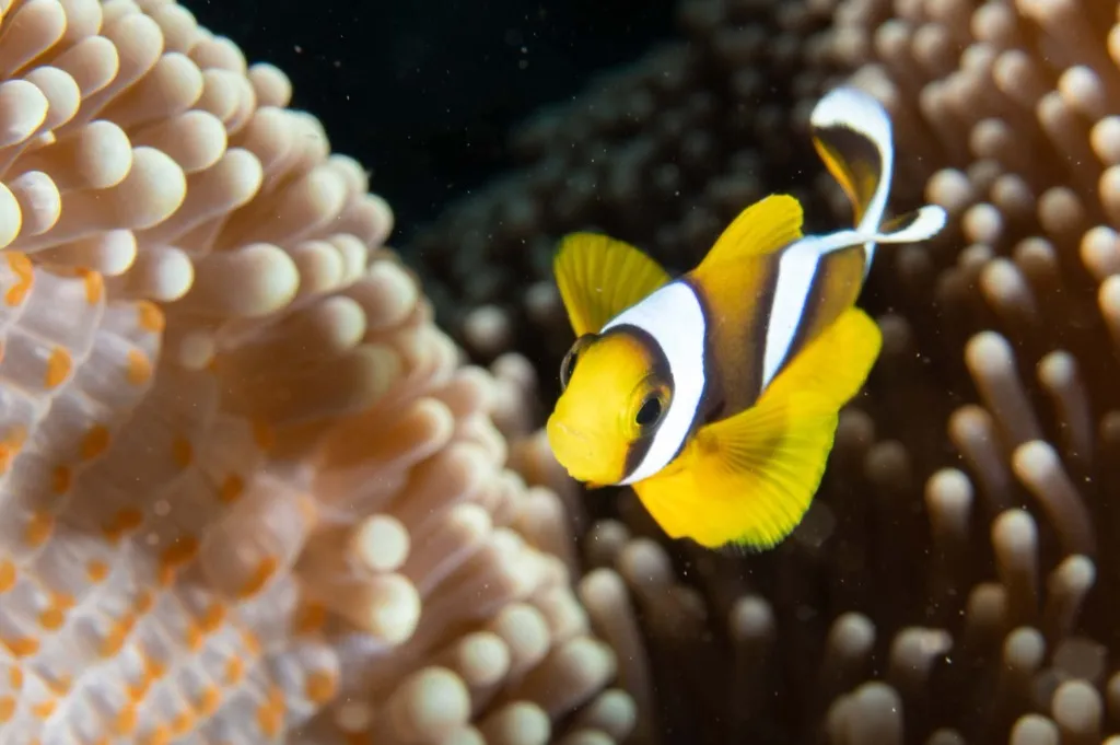
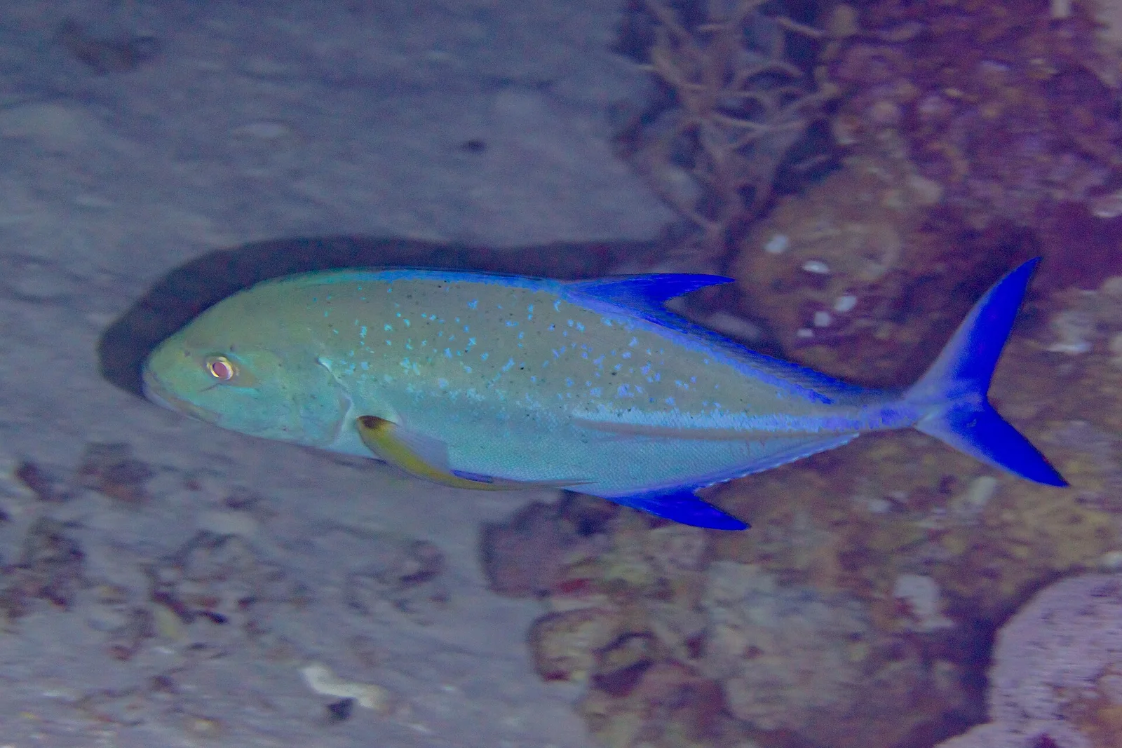
A vivid sea anemone colonized by cinnamon anemonefish (Amphiprion melanopus) crowns the wreckage like a beacon against the pale lagoon sand. Lionfish hover inside the radial engine cowlings and beneath the inverted wing camber, giant morays den inside fuselage framing, and longfin bannerfish and bluefin trevallies patrol the surrounding water column.
Dive Sites Near North Mavis Flying-Boat Wreck
View all dive sites in Marshall IslandsDiscover more underwater gems in this area.
Dive Centers Near North Mavis Flying-Boat Wreck
No Dive Centers Local To North Mavis Flying-Boat Wreck
Are you a dive center visiting this location? Get listed to reach divers.
Nearest Airports
Nearest airports to help plan travel to this dive area.
Frequently Asked Questions
What aircraft type is the North Mavis wreck?
It is an Imperial Japanese Navy Kawanishi H6K4 four-engine reconnaissance flying boat, given the Allied reporting code name 'Mavis'.
When and how was this flying boat sunk?
Historical and archaeological evidence ties its loss to February 1, 1942, when carrier aircraft from USS Enterprise (CV-6) bombed and strafed the Yokohama Kokutai seaplane moorings off Ebeye.
How deep does the aircraft lie?
The inverted wing, four radial engines, and crushed forward fuselage span a sloping sandy bottom between 18.0 and 27.4 meters.
How differs North Mavis from Central Mavis nearby?
North Mavis sits slightly deeper (up to 27.4 meters) with its forward hull resting atop the inverted right wing near its original seaplane mooring buoy, whereas Central Mavis lies shallower at 17 to 23 meters under heavier branching Acropora coral.
Can divers enter the fuselage?
No. The aluminum airframe is partially collapsed and fragile, so all observation of the cockpit, nose mount, and engines is conducted externally.
Is artifact collection permitted?
Strictly prohibited—the flying boat is a protected World War II aviation heritage site under Republic of the Marshall Islands law.
Planning to dive North Mavis Flying-Boat Wreck?
Tell us your dates and diving needs. We'll review your request and seek offers from relevant local dive centers.
Request Dive OffersConditions are Moderate
Optimal conditions expected
Current conditions near North Mavis Flying-Boat Wreck show 28° air, 29° sea temperature, N/A waves, and 30 km/h wind. Forecast data is refreshed regularly to ensure accuracy.